View all accommodation in Beacon
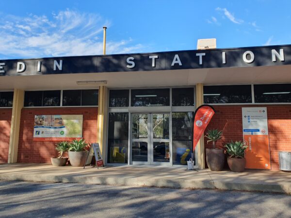
Beacon is the farthest north-easterly town in the Wheatbelt. It is a vibrant and well established town boasting a good range of facilities and services. Formerly known as Beacon Rock, the name was changed to Beacon in 1931 to avoid confusion with another railway siding and like many of the towns in the area Beacon has a rich agricultural history. The town was established in the 1920’s as blocks of land were divided and sold and the railway extended to service the area. With this established, soon a store and post office were constructed, followed by a bakery, butcher and other infrastructures. Sport also played a significant role in the community with many clubs formed in the 1930’s.
Nowadays Beacon town is home to 100 residents and also supports up to another 100 on surrounding farm lands.
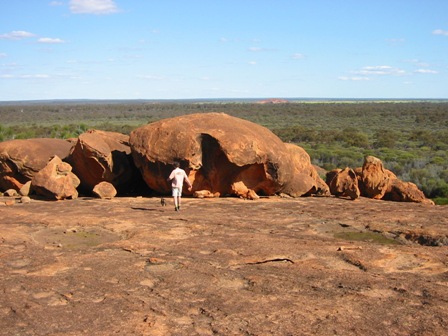
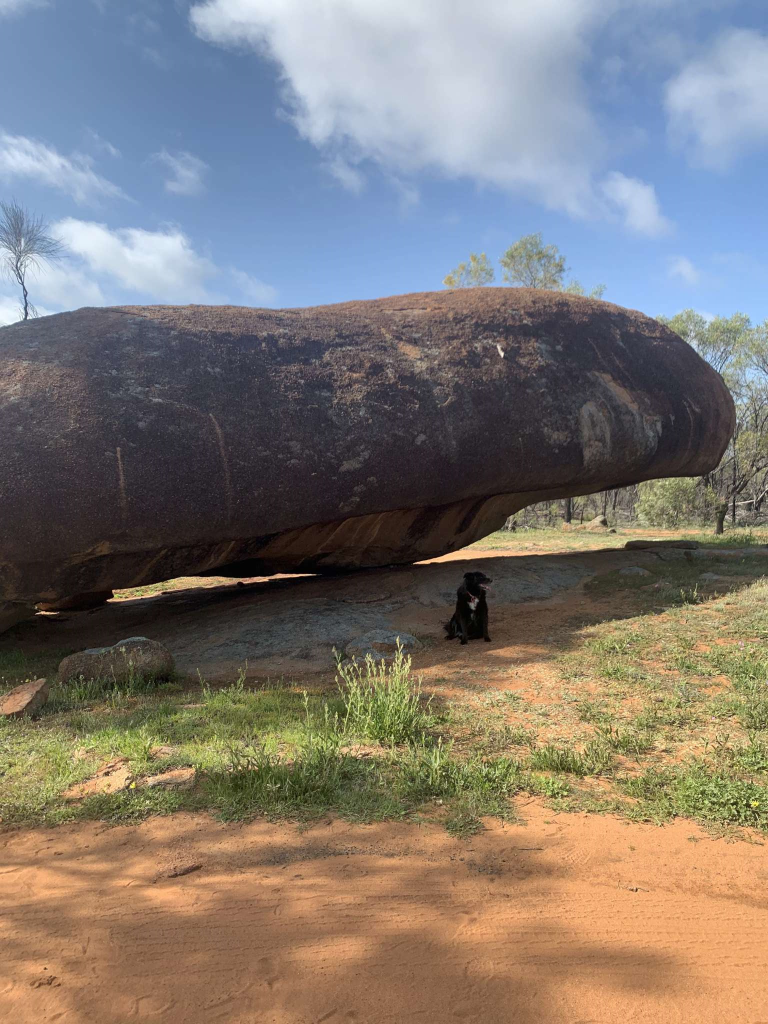
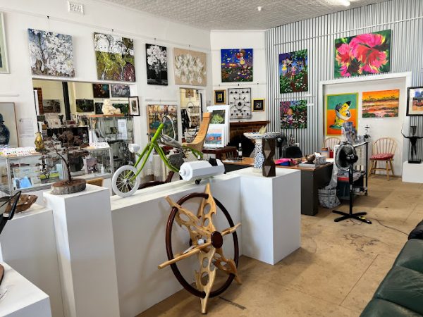
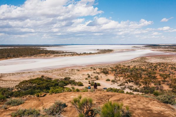
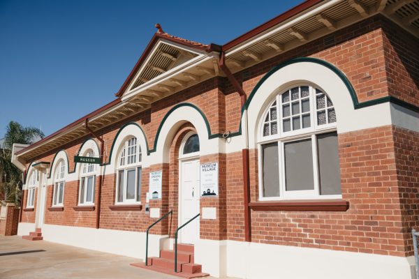
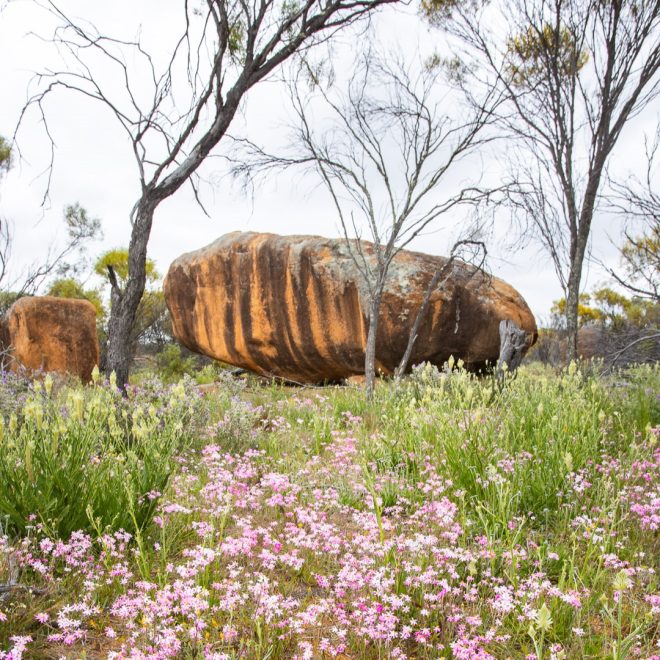
Anyone who enjoys the outdoors will love Beacon. An abundance of flora and fauna can be found around the town, although there’s no better place to see it all in one place than at the Beacon Botanical Park. Other attractions worth a visit include Billiburning Reserve and Datjoin Rock; these are great places to see collections of beautiful wildflowers and native birdlife. Returning to town call into the Beacon Museum located at Beacon Central to discover some local history then relax with a drink with the locals at the Beacon Country Club or call into the Beacon’s Men’s Shed to view restored vintage machinery. The Beacon Co-Op also have an interesting display of antique signs and memorabilia and serve a range of lunch meals and take-away coffee.