Careers
Become a Member
Contact Us
Product
has been added to your cart.
(08) 9041 1666
Welcome
Welcome to Country
About Us
Enterprise
Accommodation
RV Friendly Towns & Destinations
Explore
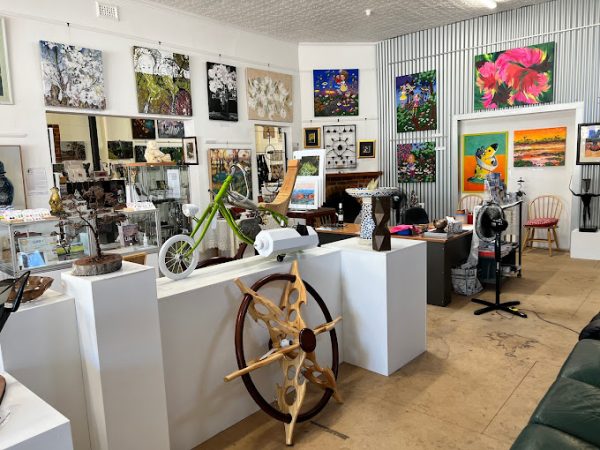
Galleries & Op Shops
Bruce Rock Craft Shop
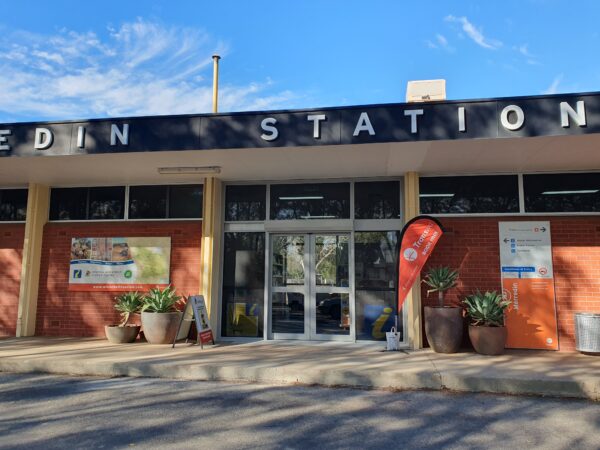
Merredin Central Wheatbelt Visitor Centre
Corrigin Craft Shop
Kellerberrin Just Craftin’ Around
Hyden Katter Kich Gallery and Tours
Kulin Gallery & Studio
View All
Granite Outcrops & Salt Lakes
Elachbutting Rock
Eaglestone Rock
Kokerbin Rock
Merredin Peak Reserve and Railway Dam
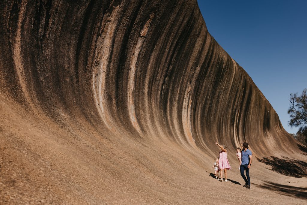
Wave Rock
View All
Baladjie Rock
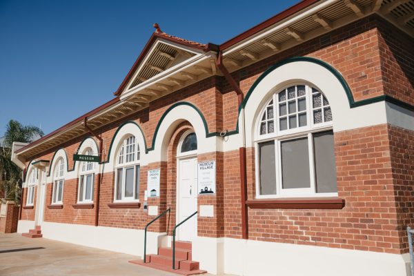
Museums & Collections
Cunderdin Museum
Hyden The Lace Place
Merredin Military Museum
Narembeen Grain Discovery Centre
Nungarin Mangowine Homestead
Westonia Hood Penn Museum
View All
Tours & Experiences
Katter Kich Gallery and Tours
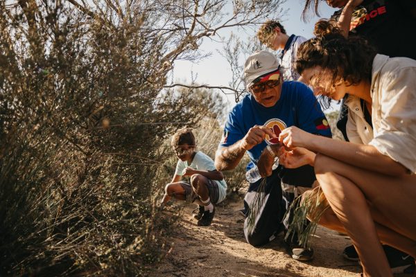
Njaki Njaki Aboriginal Cultural Tours
Wadderin Wildlife Sanctuary
Walkers Hill Vineyard
View All
Self Drive Trails
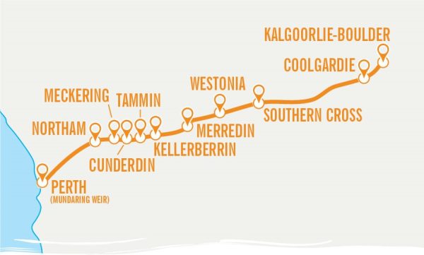
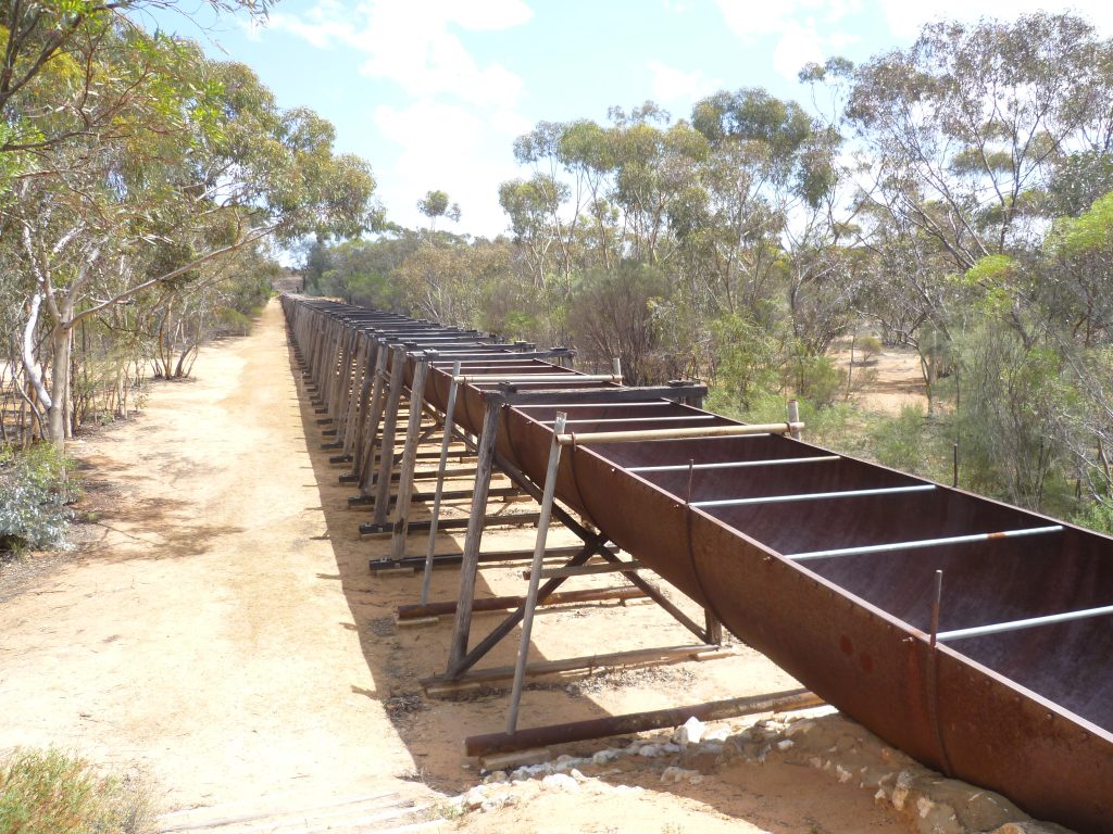
Golden Pipeline Heritage Trail
Public Silo Trail
Pathways to Wave Rock
Pioneers’ Pathway
Wheatbelt Way
View All
Eastern Wheatbelt Drive Trail
Towns
Hyden
Kulin
Merredin
Mukinbudin
Southern Cross
Westonia
View All
Wheatbelt Visitor Centres
Central Wheatbelt Visitor Centre
Wave Rock Visitor Centre
Beverley Visitor Centre
Kulin Visitor Centre
Lake Grace Visitor Centre
View All
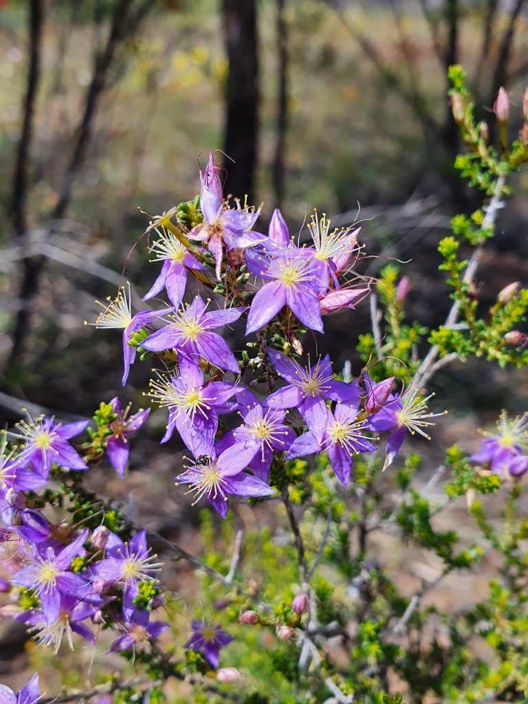
Wildflowers
Current Wildflower Season
Events
Shop
Welcome
Welcome to Country
About Us
Enterprise
Accommodation
RV Friendly Towns & Destinations
Explore
Galleries & Op Shops
Bruce Rock Craft Shop
Merredin Central Wheatbelt Visitor Centre
Corrigin Craft Shop
Kellerberrin Just Craftin’ Around
Hyden Katter Kich Gallery and Tours
Kulin Gallery & Studio
View All
Granite Outcrops & Salt Lakes
Baladjie Rock
Eaglestone Rock
Elachbutting Rock
Kokerbin Rock
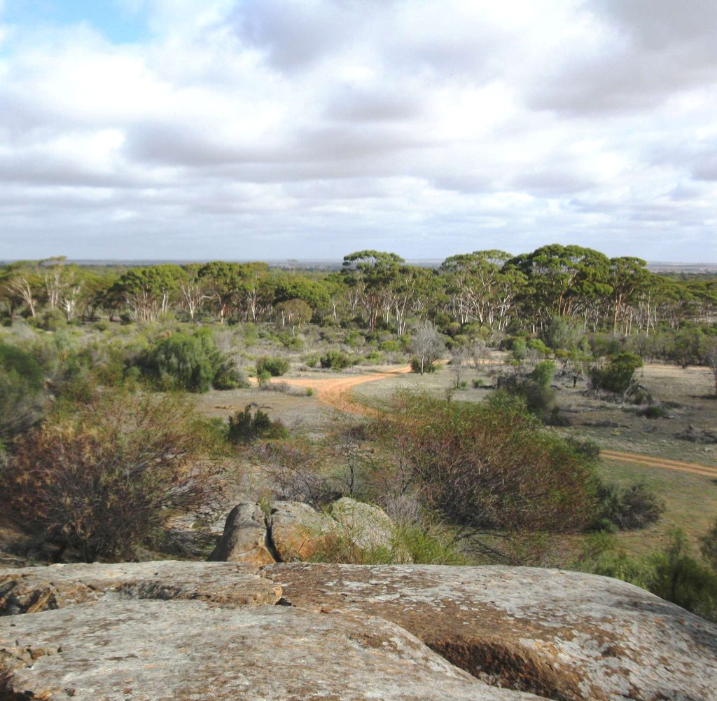
Merredin Peak Reserve and Railway Dam
Wave Rock
View All
Museums & Collections
Cunderdin Museum
Hyden The Lace Place
Merredin Military Museum
Narembeen Grain Discovery Centre
Nungarin Mangowine Homestead
Westonia Hood Penn Museum
View All
Tours & Experiences
Katter Kich Gallery and Tours
Njaki Njaki Aboriginal Cultural Tours
Wadderin Wildlife Sanctuary
Walkers Hill Vineyard
View All
Self Drive Trails
Eastern Wheatbelt Drive Trail
Pathways to Wave Rock
Pioneers’ Pathway
Wheatbelt Way
Golden Pipeline Heritage Trail
Public Silo Trail
View All
Towns
Hyden
Kulin
Merredin
Mukinbudin
Southern Cross
Westonia
View All
Wheatbelt Visitor Centres
Central Wheatbelt Visitor Centre
Wave Rock Visitor Centre
Beverley Visitor Centre
Kulin Visitor Centre
Lake Grace Visitor Centre
View All
Wildflowers
Current Wildflower Season
Events
Shop
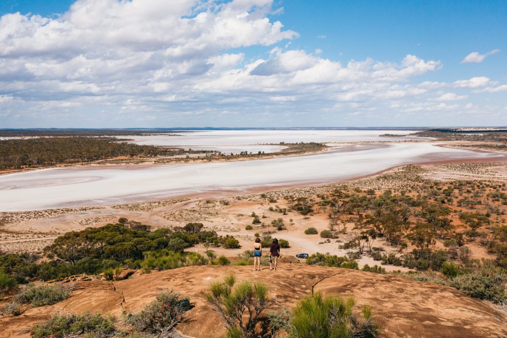
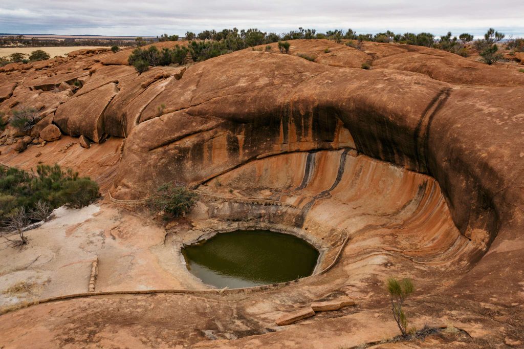
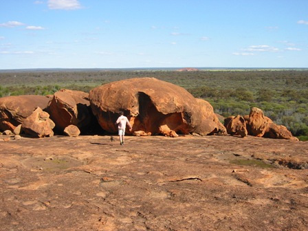
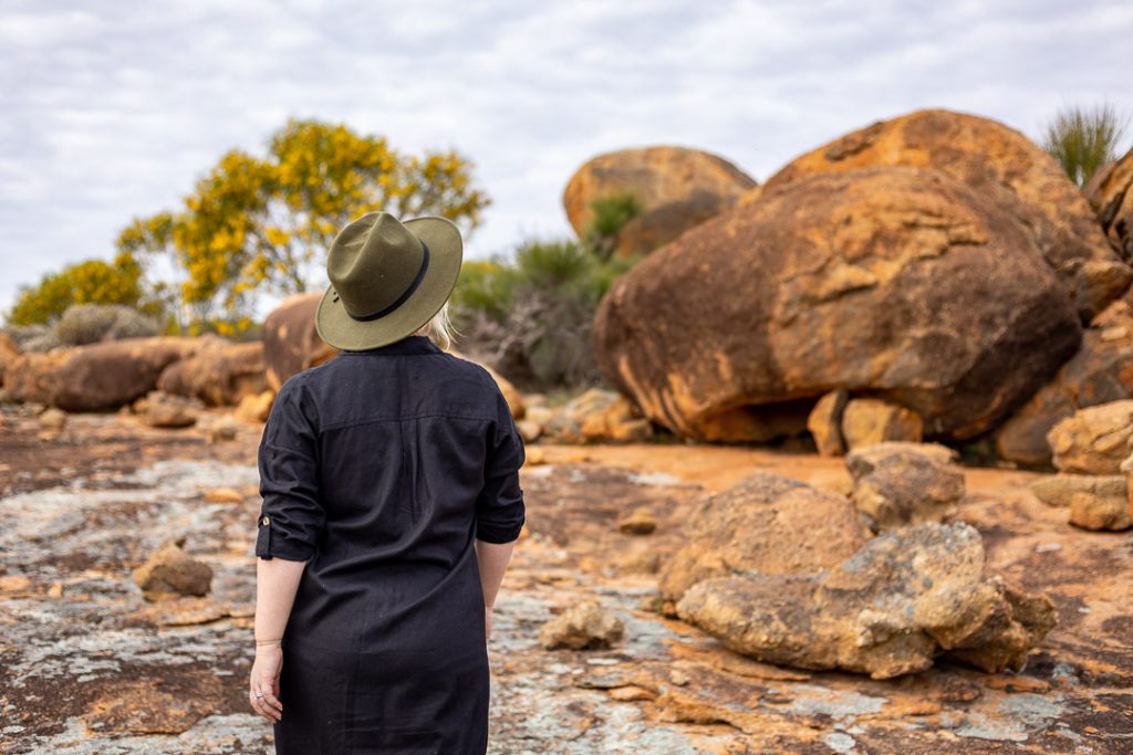
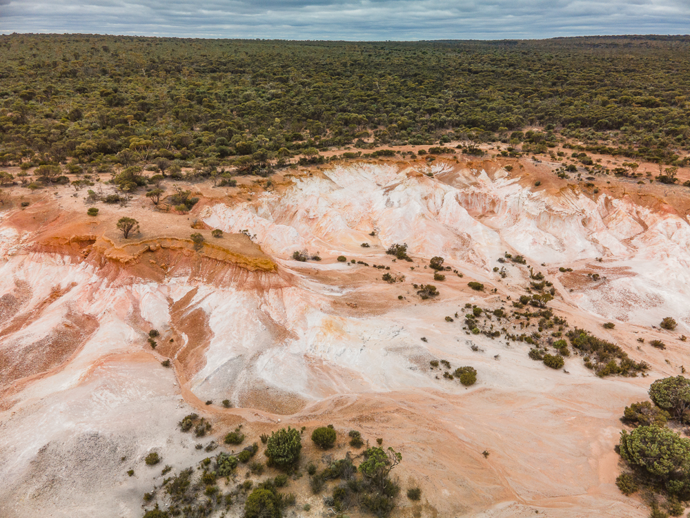
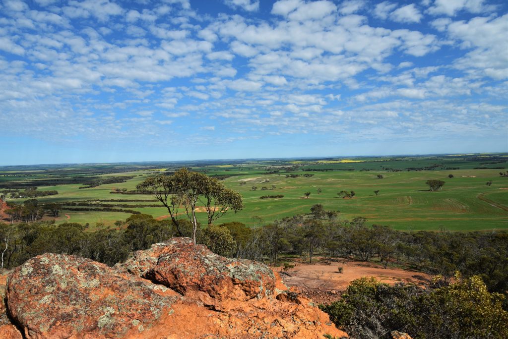
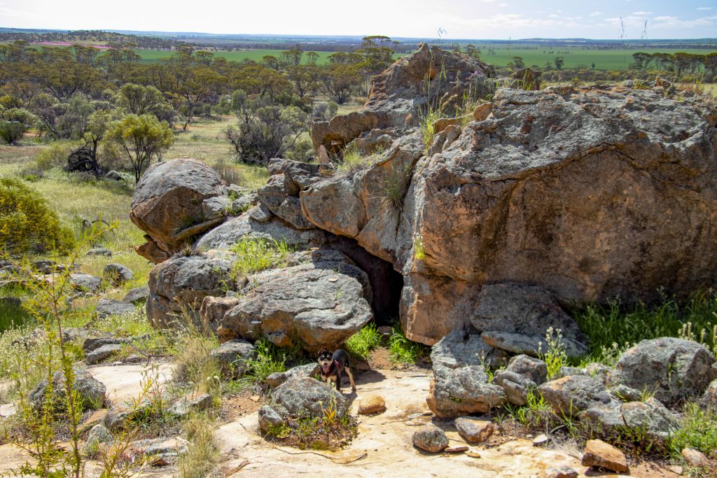
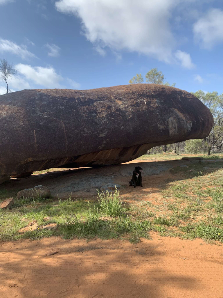
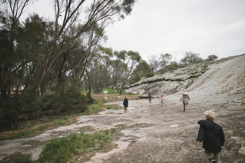
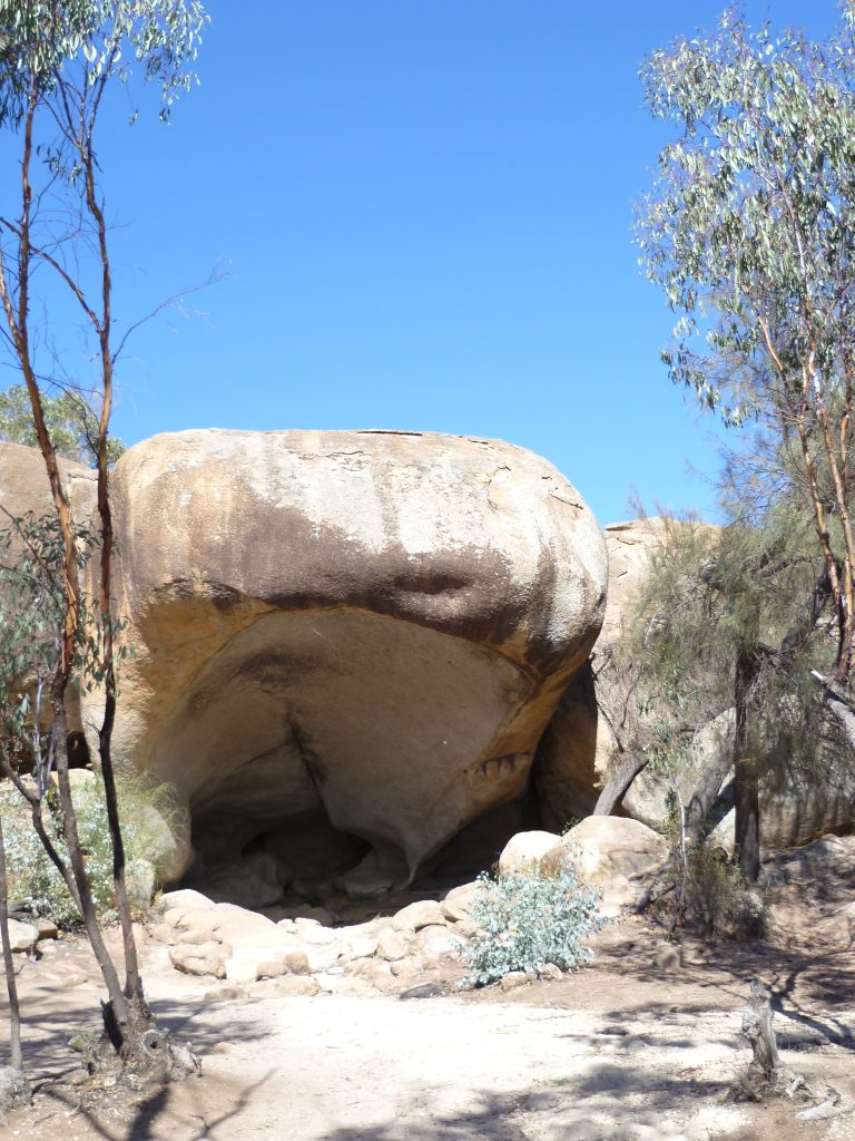
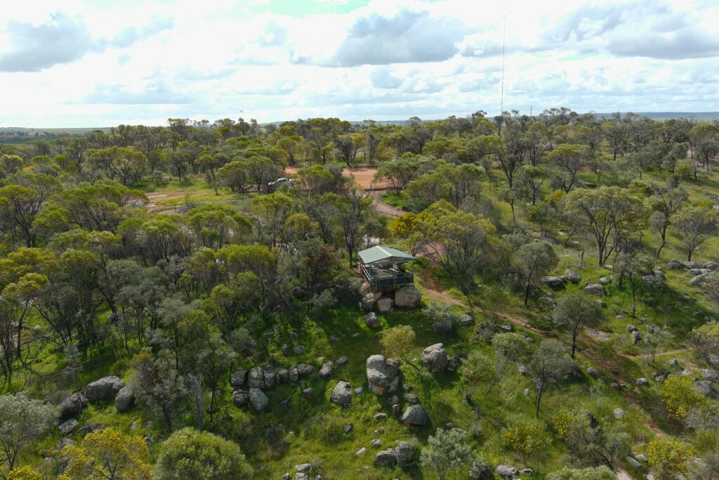
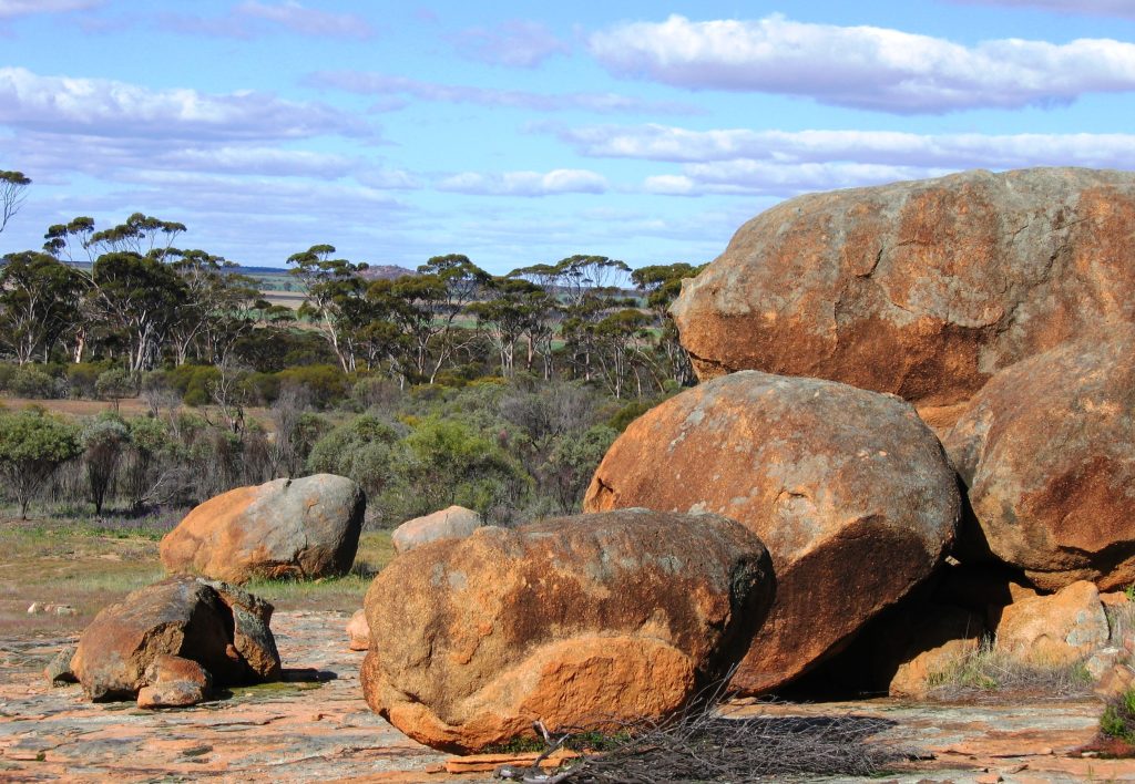
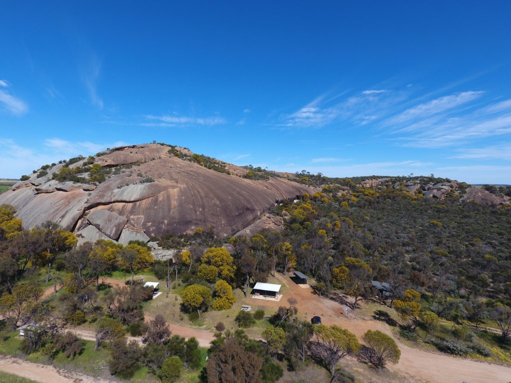
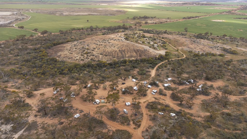
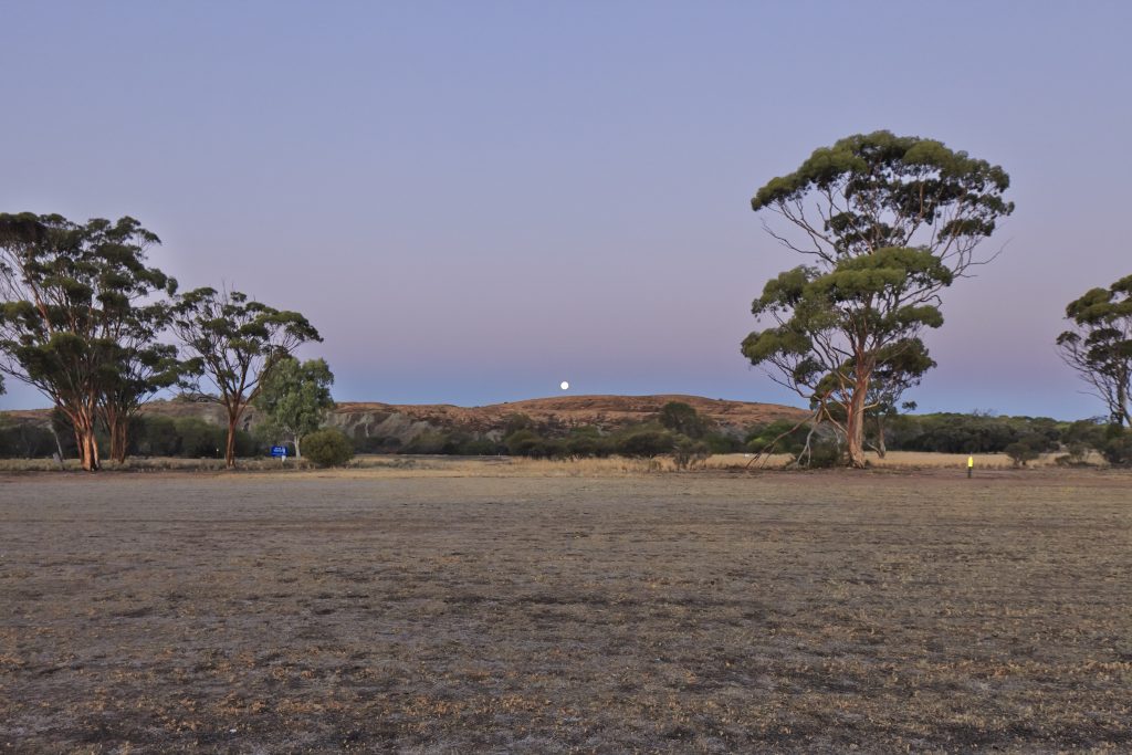
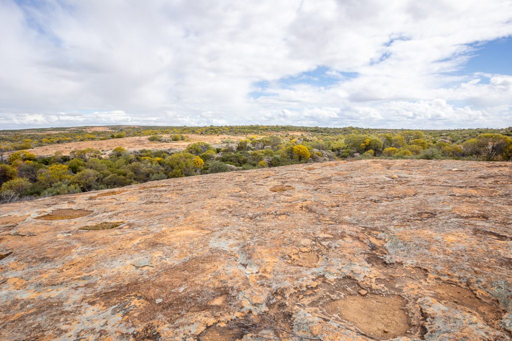
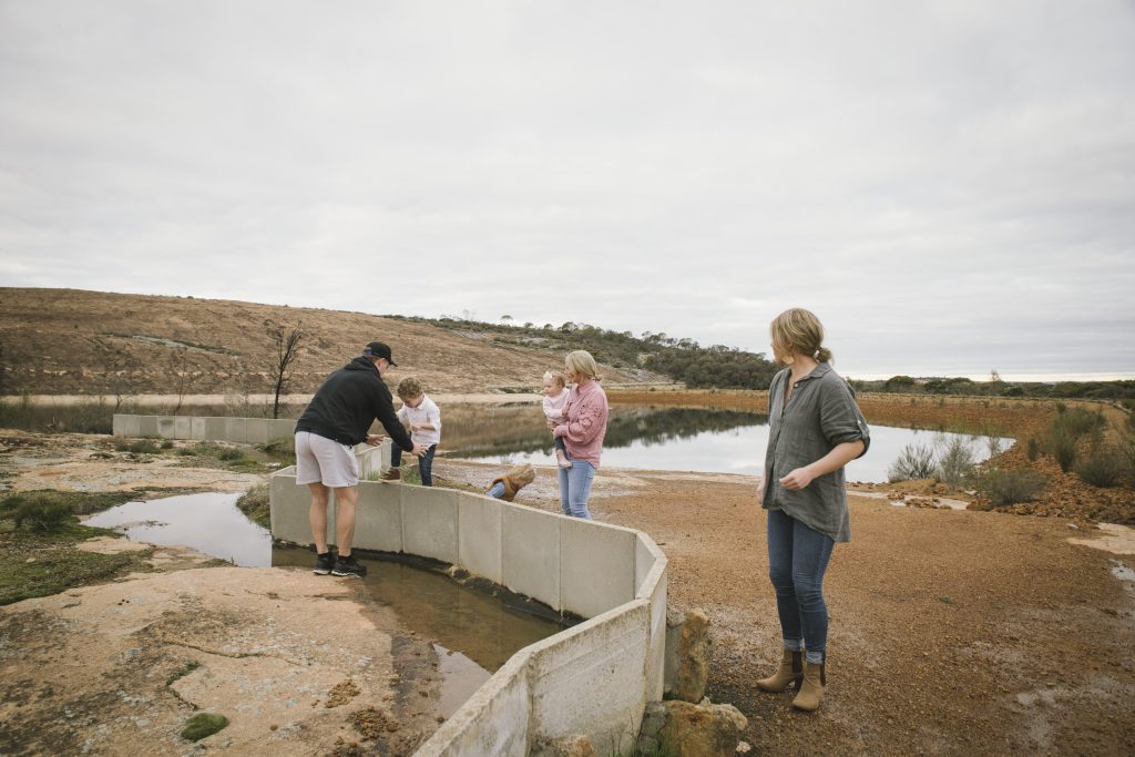
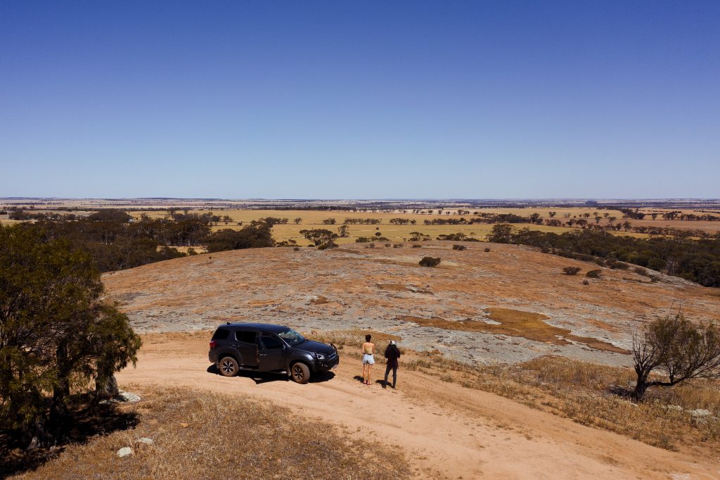
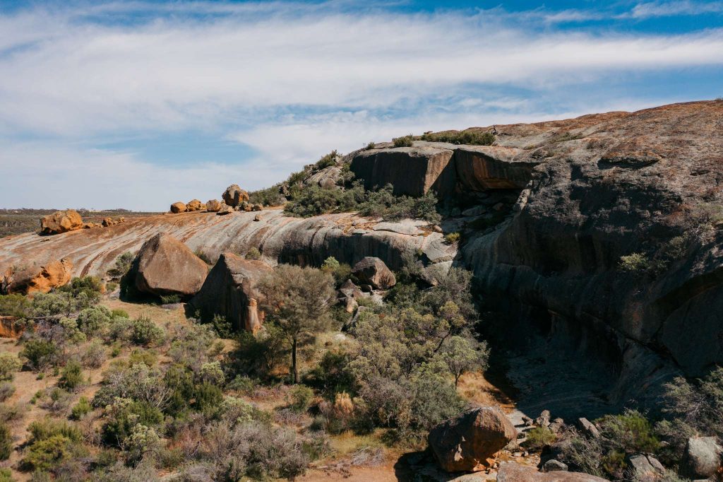
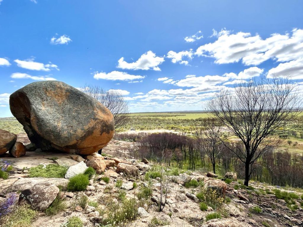
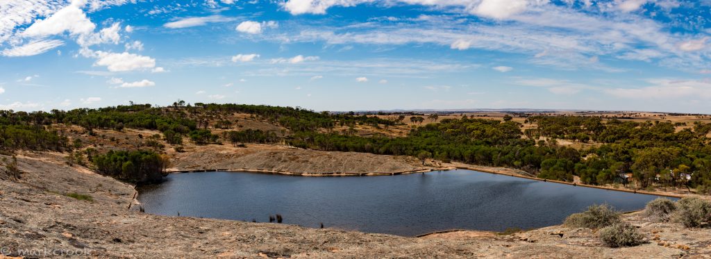
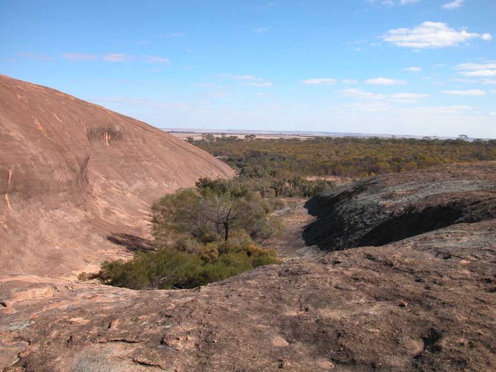
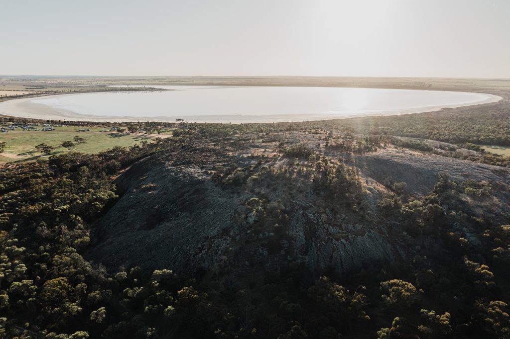
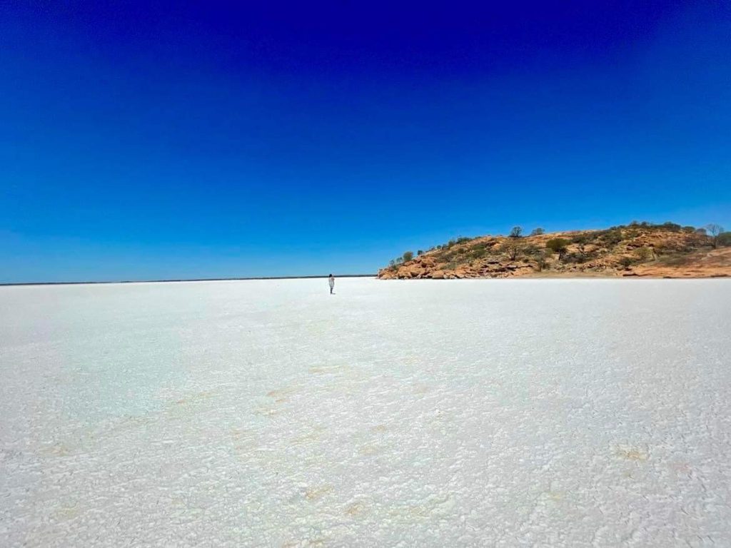
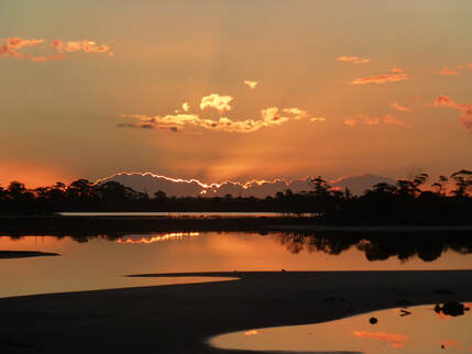
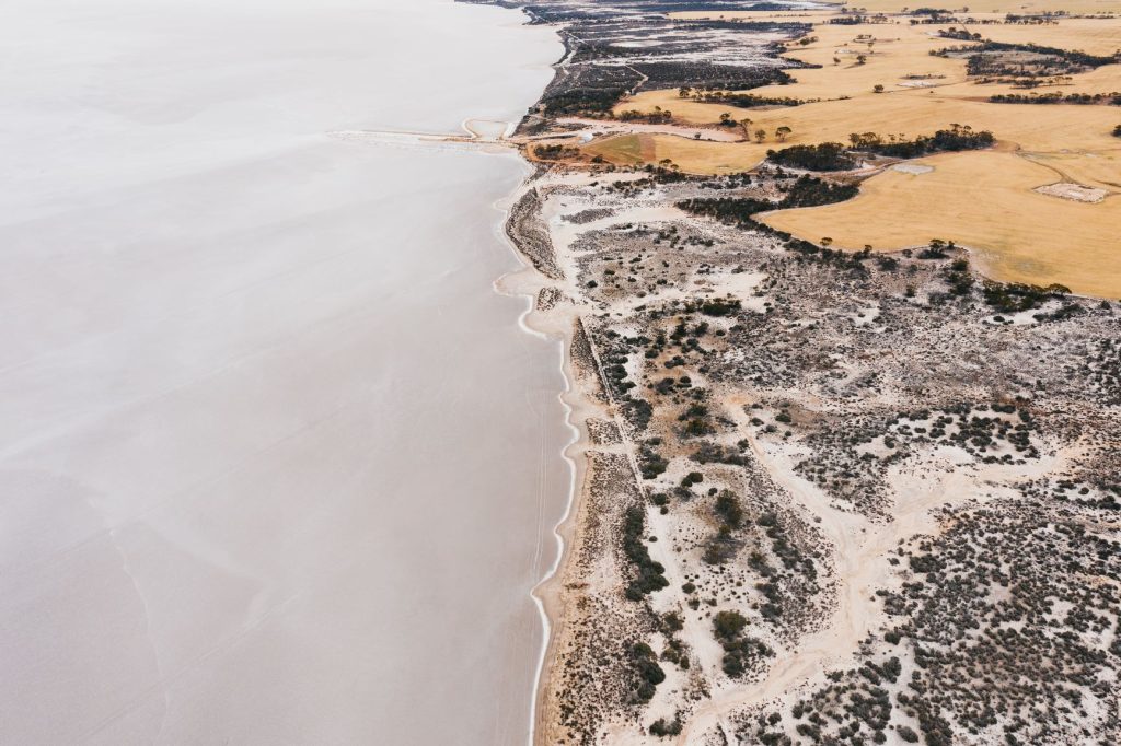
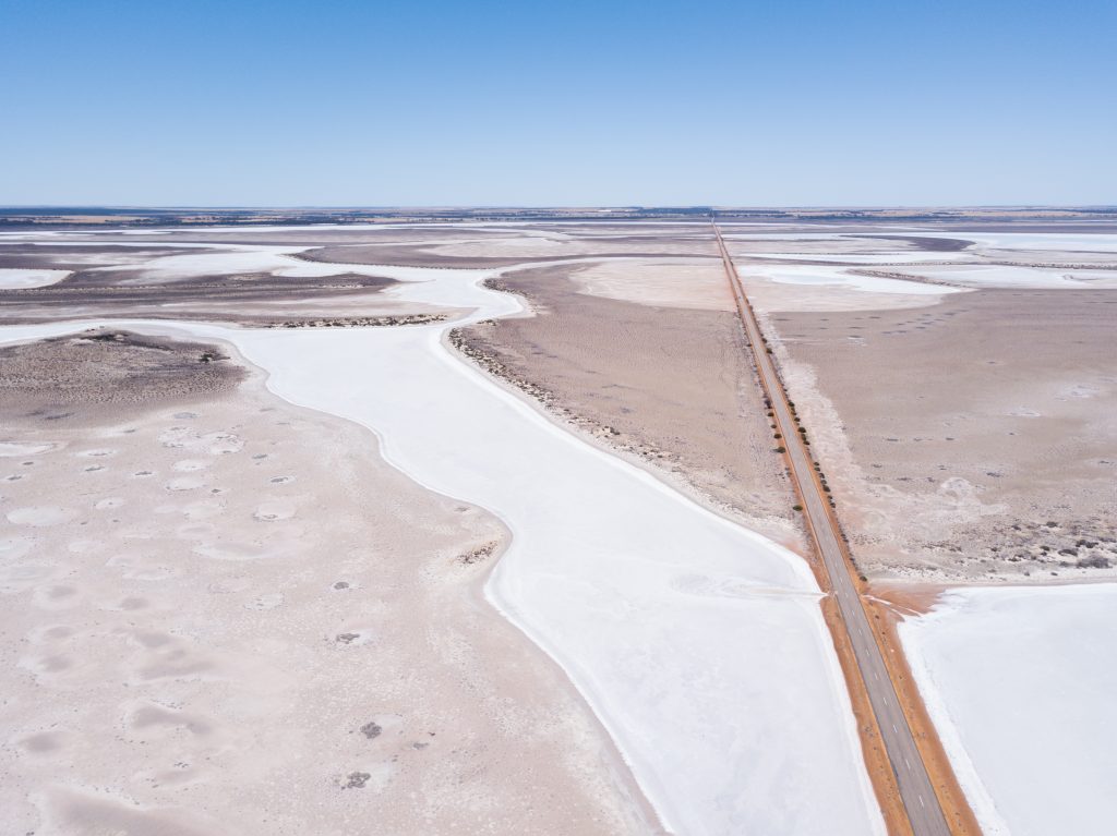
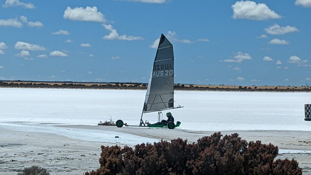
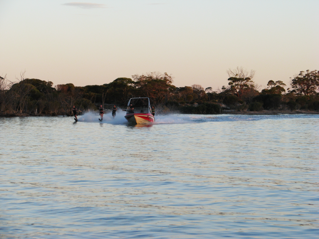
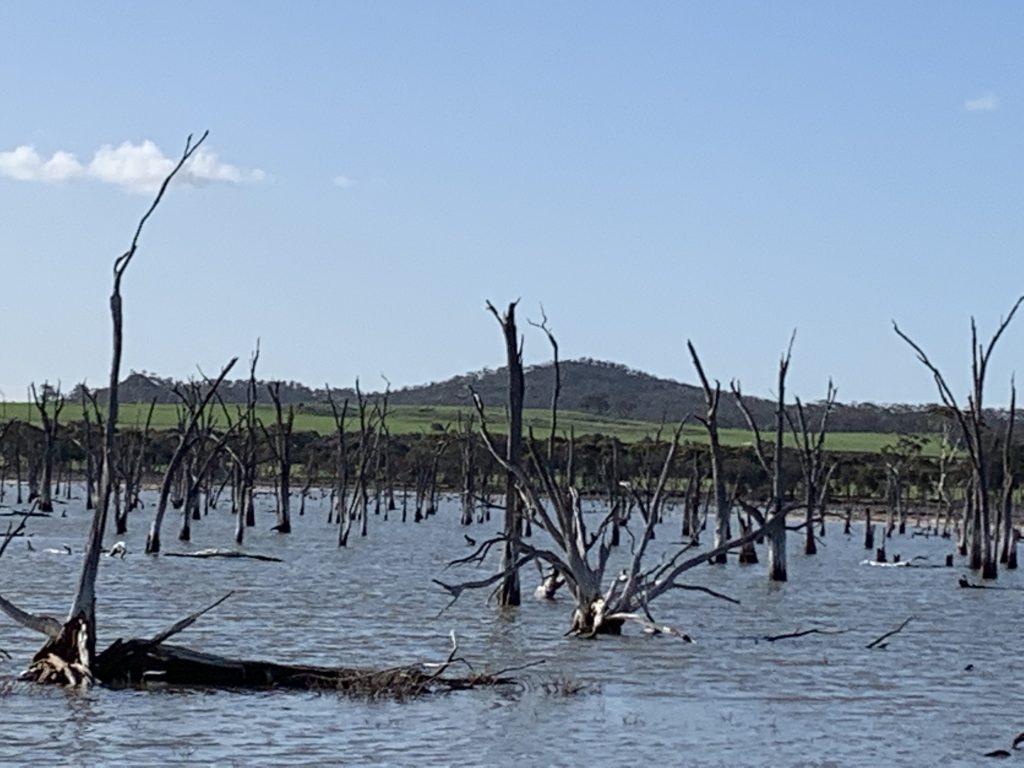
Granite Outcrops and Salt Lakes
Granite Outcrops
Baladjie Rock
Beringbooding Rock
Billiburning Rock
Billyacatting Hill
Bruce’s Rock
Buckley’s Breakaway
Bulgin Rock Reserve
County Peak
Danberrin Rock Reserve
Datjoin Rock
Eaglestone Rock
Elachbutting Rock
Frog Rock and Dam
Gorge Rock
Helena & Aurora Range (Bungalbin)
Hidden Hollow
Hippos Yawn
Hunts Soak
Jilakin Rock
Karalee Dam
Kellerberrin Hill
Keokanie Rock
Kokerbin Rock
Kwolyin Camp & Coarin Rock
Marshall Rock
Merredin Peak Reserve and Railway Dam
Mollerin Rock
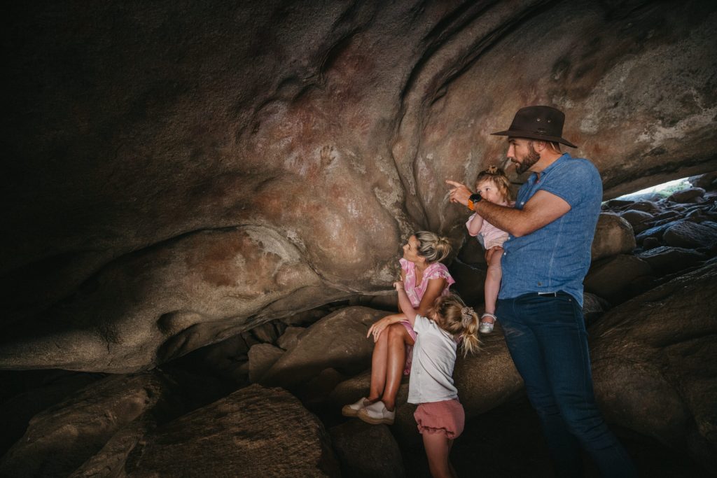
Mulkas Cave & The Humps
Newcarlbeon Rock
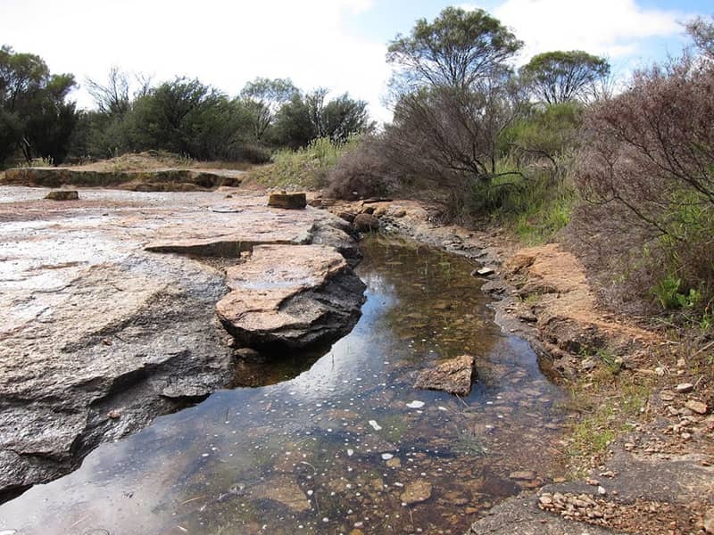
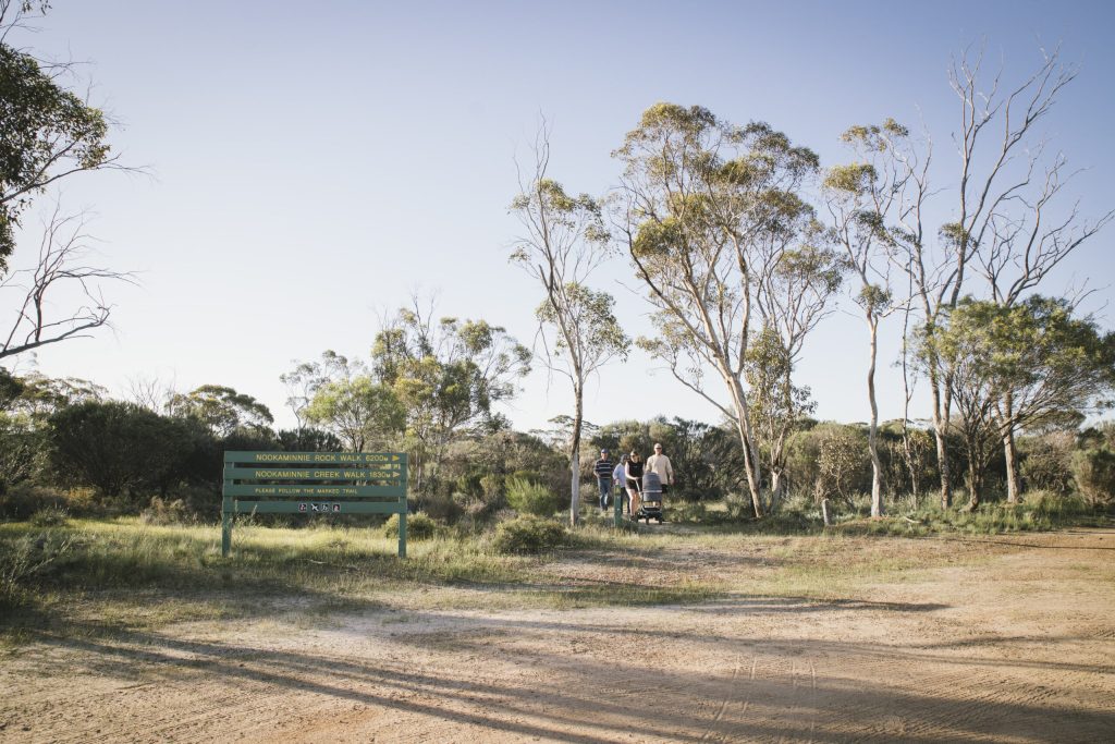
Nookaminnie Rock
Roe Dam
Roe Lookout
Sandford Rocks
Talgomine – Mt Moore
Toapin Weir
Totadgin Conservation Park
Waddouring Dam
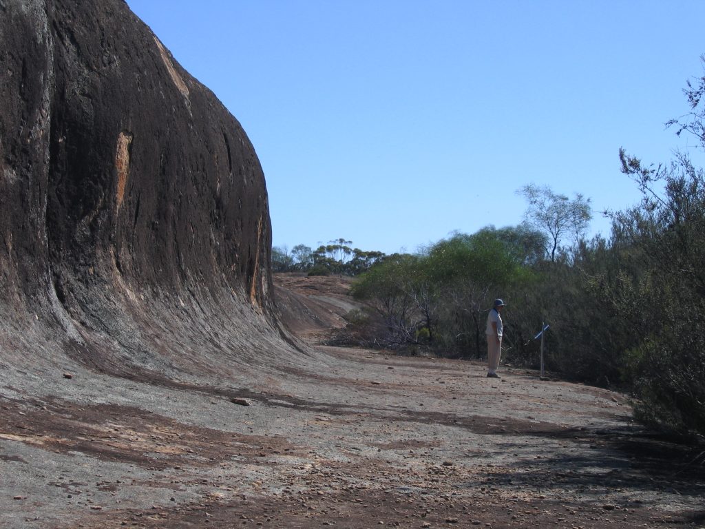
Wave Rock
Westonia Common and Boodalin Soak
Yeerakine Rock
Yorkrakine Rock
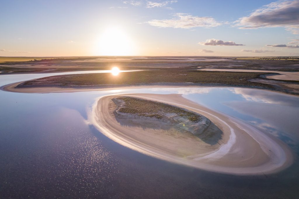
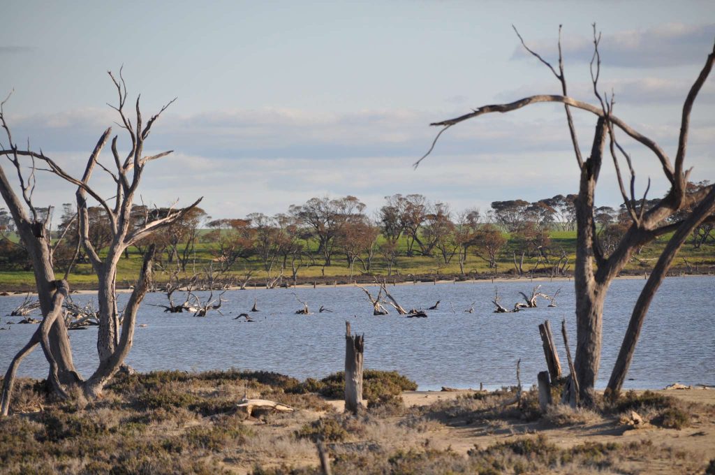
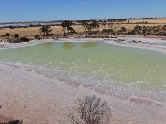
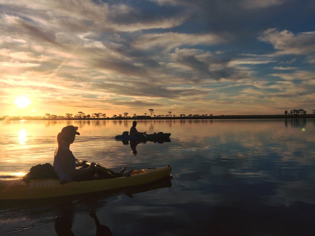
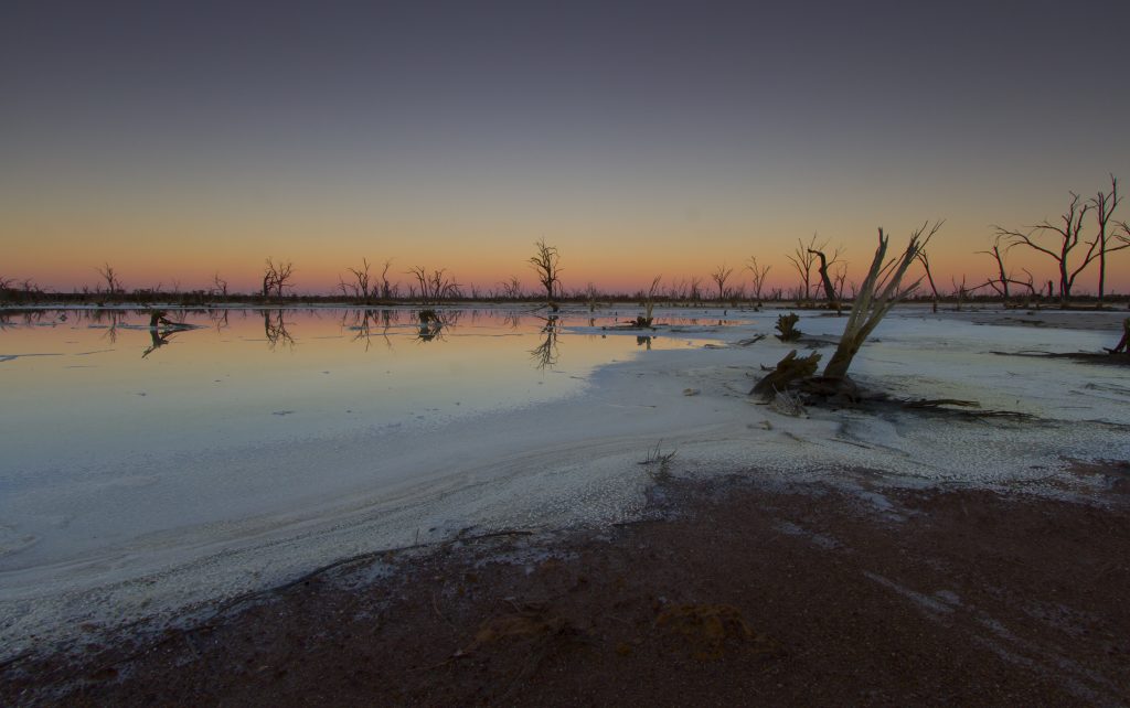
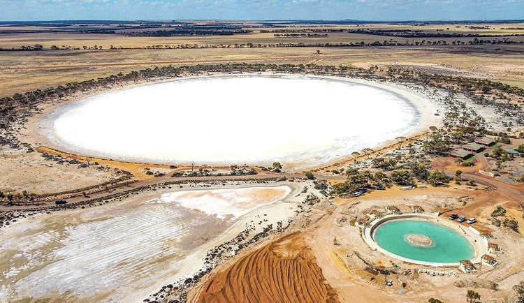
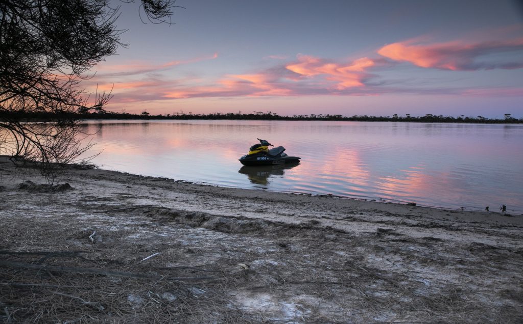
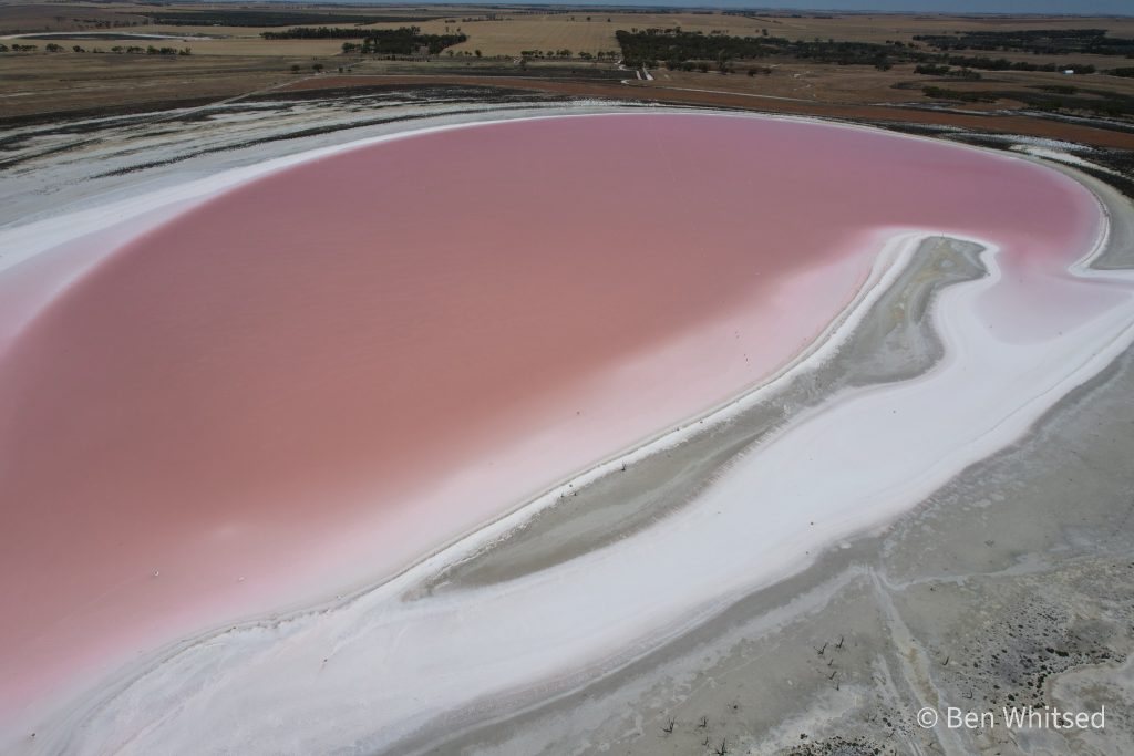
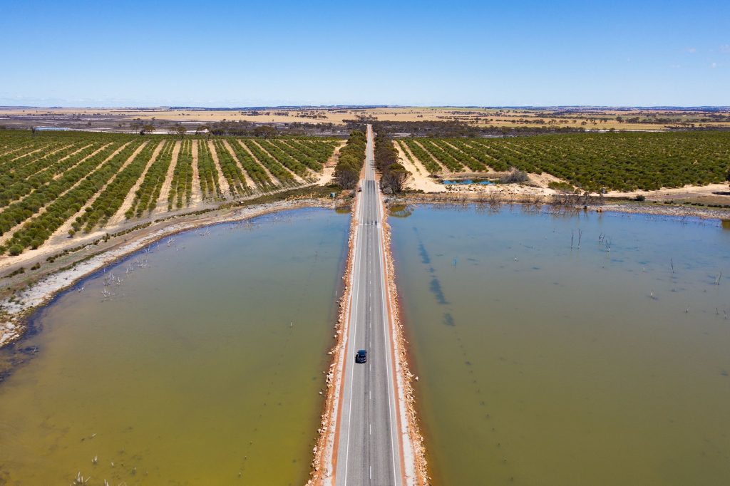
Salt Lakes
Baandee Lake
Cowcowing Lake
Dowerin Lakes
Evelyn Lake
Jilakin Lake
Kondinin Lake
Lake Askew
Lake Brown
Lake Campion
Lake Grace
Lake King
Lake Koorkoordine
Lake Magic
Lake McDermott
Nambling Salt Lake
Pink Lake
Statues Lake
Wakeman’s Lake
Yenyening Lake
Menu