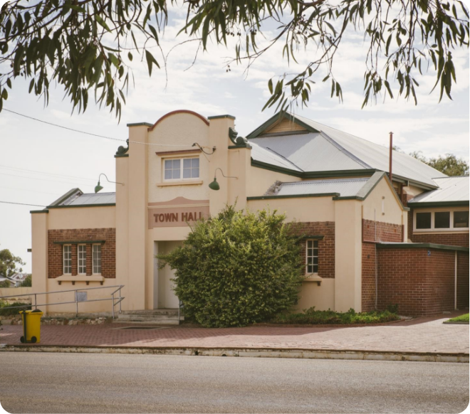
Karlgarin is a small and proud Wheatbelt town to a community of 93 people. Karlgarin is a town located 321 kilometres southeast of Perth in the eastern Wheatbelt region of Western Australia. A small traditional farming town, most of the farmers trade in sheep, cattle, wheat, oat, canola, barley and lupins.
The first European to visit the area was Surveyor-General John Septimus Roe, who passed through in 1848. ‘Carlgarin’ was the original name Roe gave the district, now spelled with a K, which is said to come from the Noongar language. “Karl” is the Noongar word for fire. Karlgarin was selected as a soldier settlement site and a declaration of a townsite was sought in 1924. By 1929 there were about 200 settlers in the district. It was not until 1930 that the railway came to the area. The townsite was gazetted in 1931.
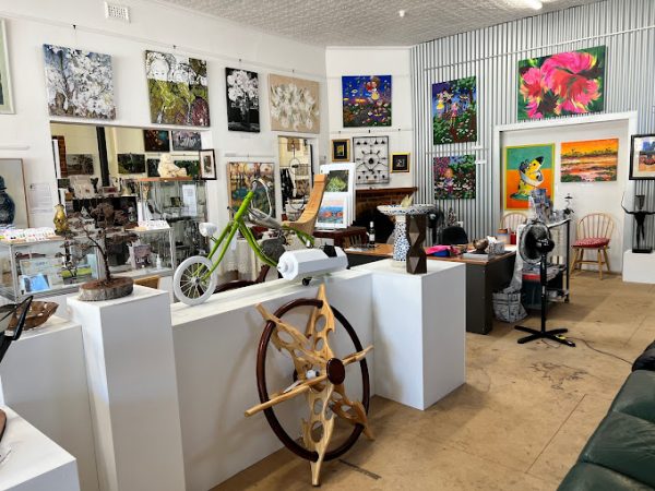
The main hub of the community is the Karlgarin Country Club, established in 1953. Located on Foundation Street, the Country Club only opens Thursdays and Friday nights and sells food and a range of drinks. In 2015 Karlgarin welcomed a new cafe and art gallery at the old CWA building. Pamela Jay Expressions is open Sundays and public holidays.
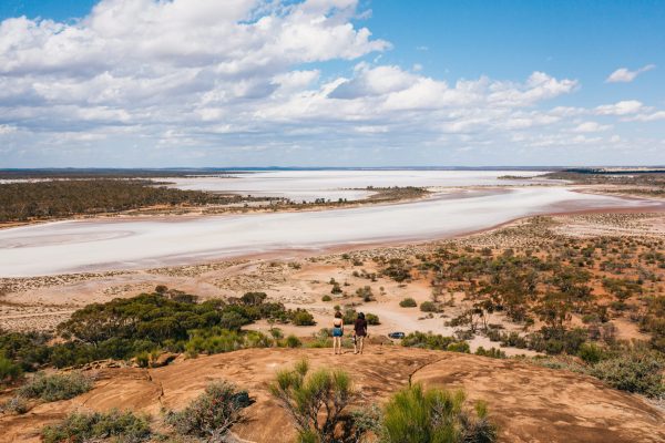
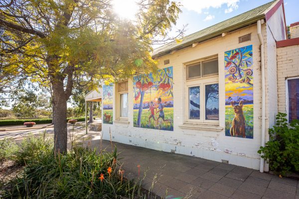
See a mosaic featuring the area’s flora and fauna. Scenic vistas can be seen at McCann, Buckley’s Breakaway and the Karlgarin Hills.